Matt Irvine, Project Officer (Stour and Avon)
With phases one to three successfully completed over the past three years, this winter and spring saw us enter into the fourth phase of this natural flood management project (undertaken in two stages).
Stage 1 works: Daylight the channel
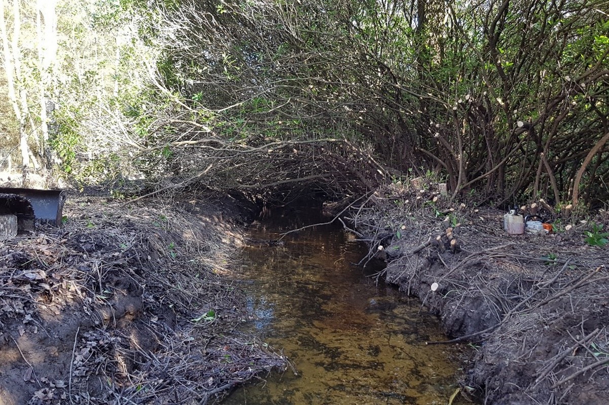
This section of the Ripley Brook (500m length) was heavily overshaded by rhododendron, to the extent that the channel was not visible at all, even from the bank, and the rhododendron was beginning to take root on the opposite bank from overhanging branches. These works were undertaken in late winter to avoid the nesting bird season. The rhododendron was cut back to 2 metres from the bank and mechanically cleared back from the bank edge. It was stored in manageable piles and moved to an agreed burn site to be disposed of.

 Channel before (left) and after (right) works
Once the channel was daylighted there was evidence of a gravel bed, smothered and clogged with sediment, but a good wash through in the next heavy rainfall event should leave the channel looking much healthier. Some carefully placed large woody debris will add some great features and cover to this previously straightened and overshaded channel.
Channel during clearance work. Evidence of the Rhododendron overshading can be clearly seen, with the lack of light penetration and smothered riverbed.
Stage 2 works: Re-connecting the channel to its floodplain
The Ripley Brook is perched above its natural course through this reach and disconnected from the floodplain. These works were undertaken in the spring once the ground had had a chance to dry a little from the winter rains. Several areas of low value forestry land had been identified within the woodland with the potential to become areas of wet woodland with high biodiversity value. Access was required for forestry operations along the TRHB of the channel, so the original plan to lower the bank at strategic locations was replaced with installing twin wall culvert pipes set between 200mm and 400mm above average summer water levels to ensure that the channel is not depleted during low flows and the floodplain connection comes into play during rainfall events.
Pipes installed to create a floodplain reconnection point. Pipes were installed to ensure forestry access was maintained along the bank
3 of these structures were installed on the TRHB with a further two areas of bank lowering taking place on the TLHB, utilising another area of seasonally wet ground.


